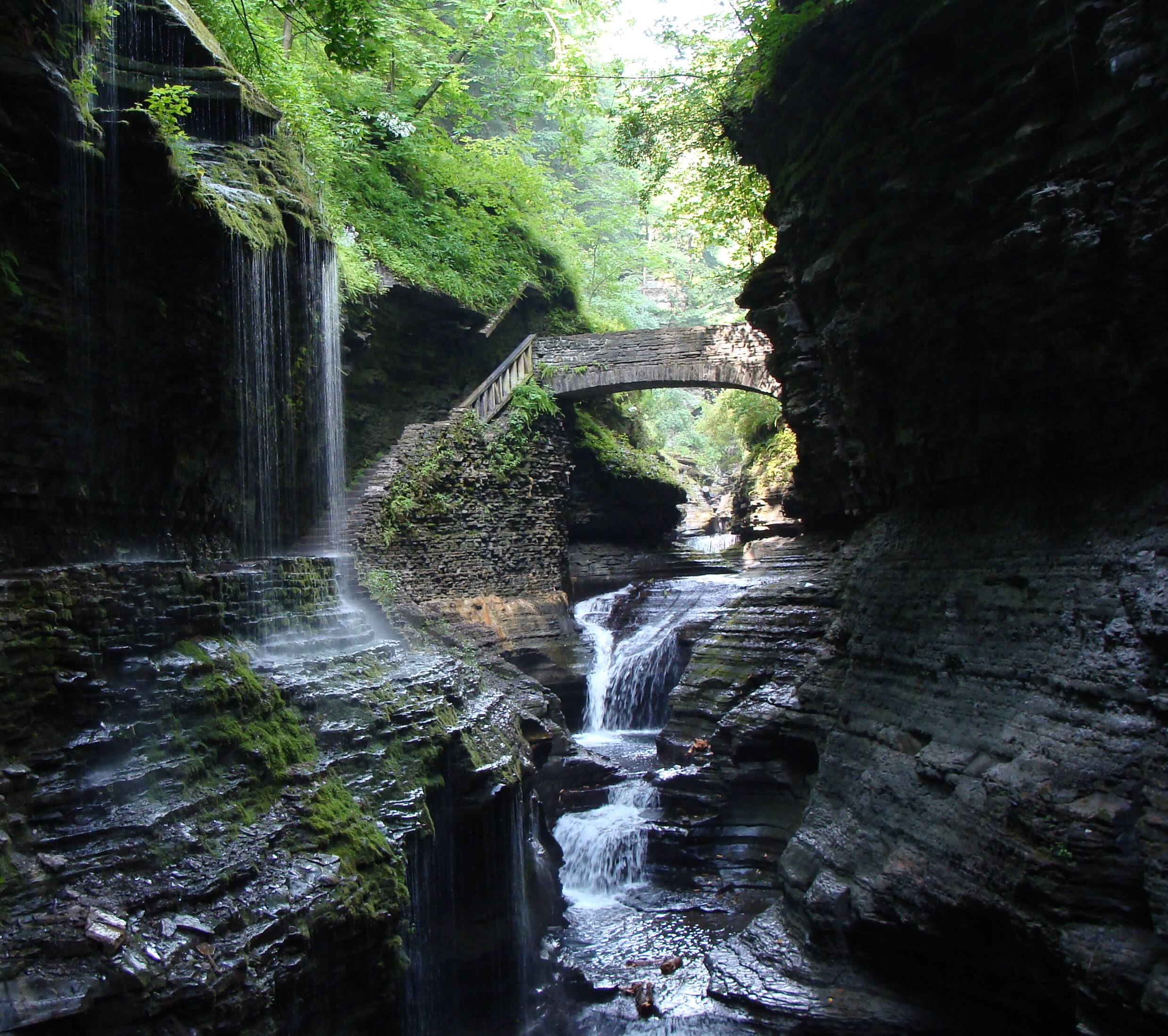
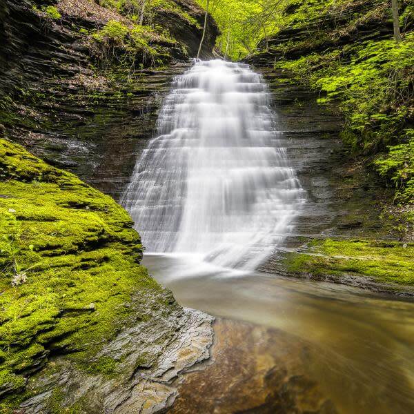
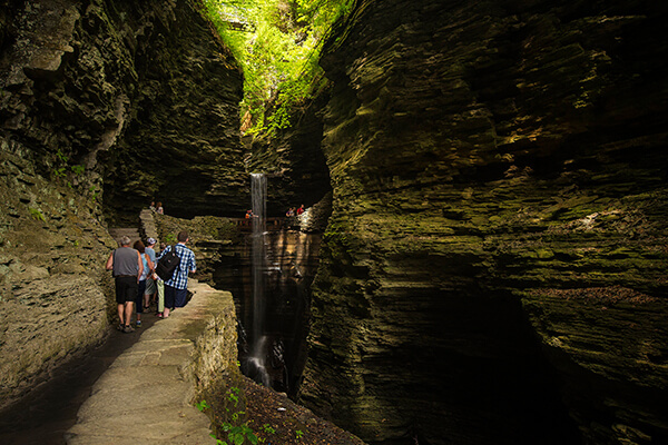
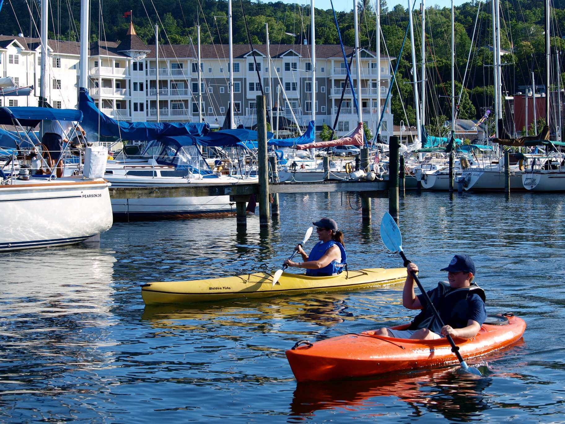
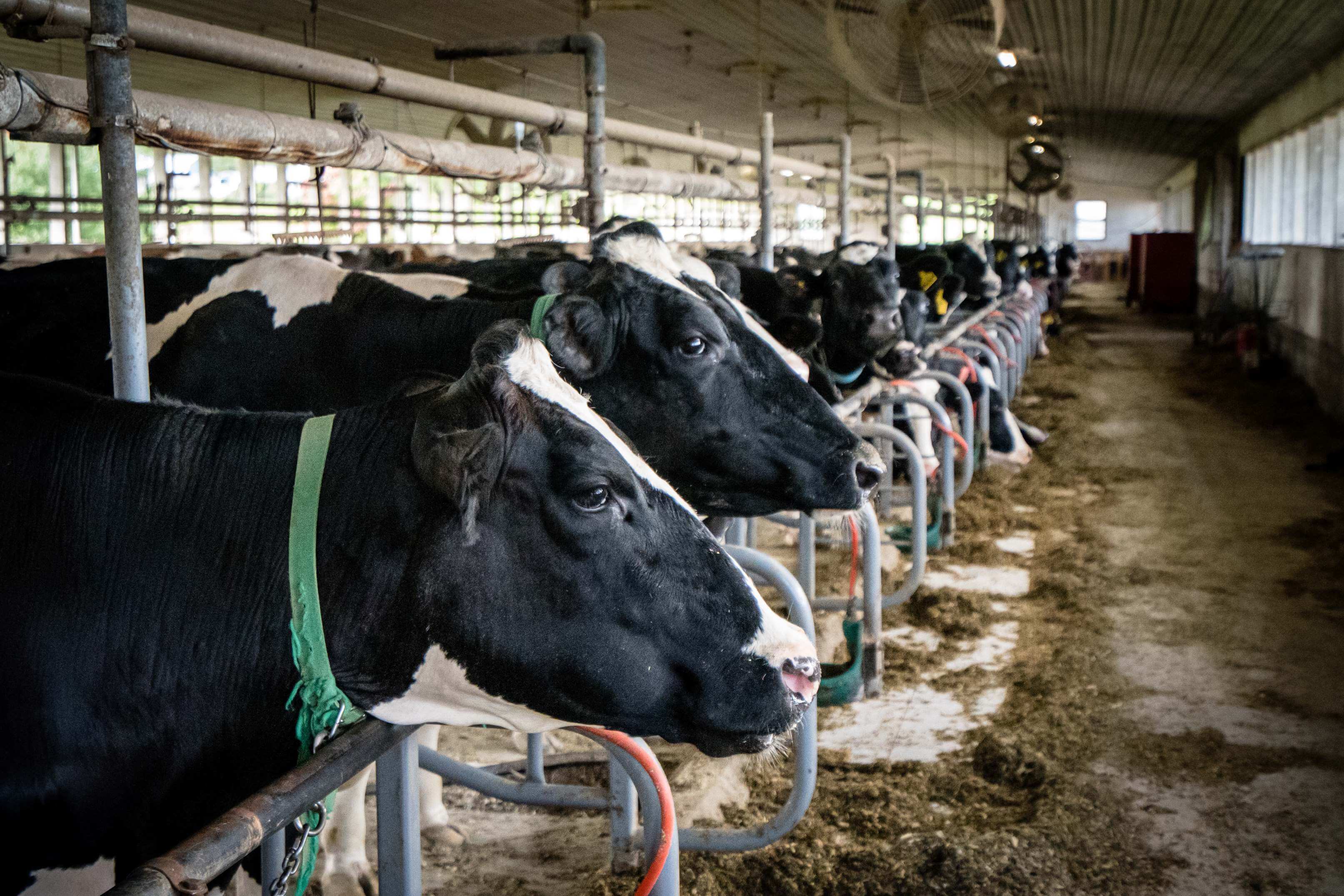
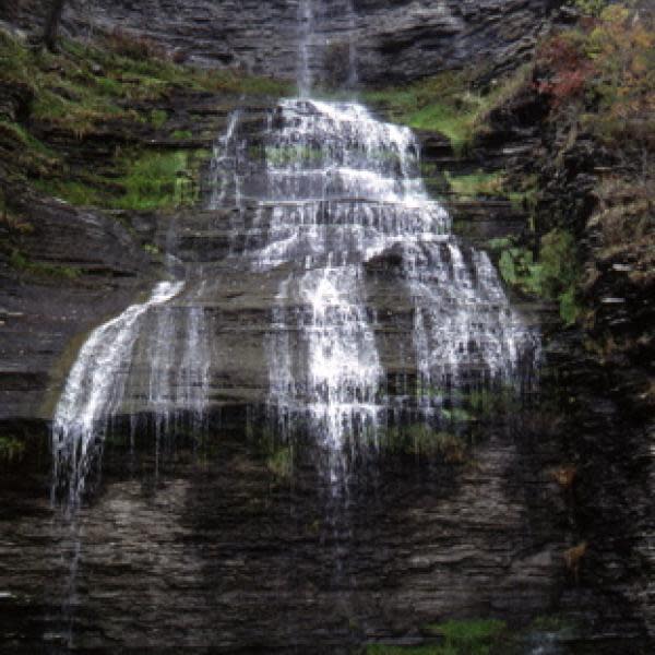
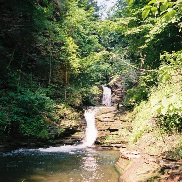
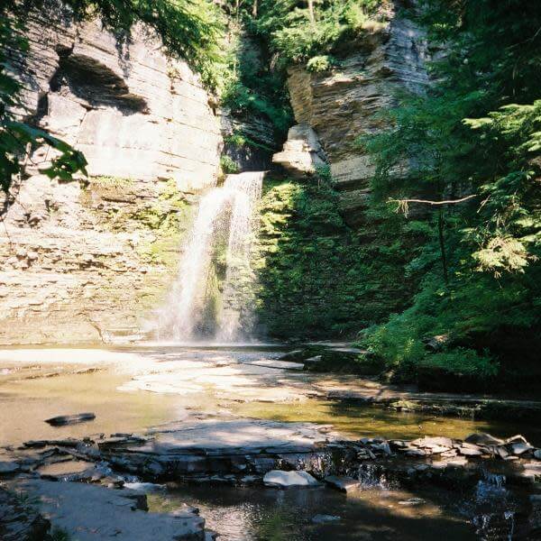
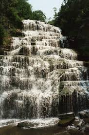
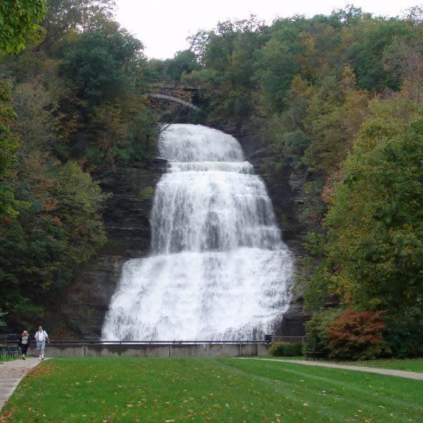
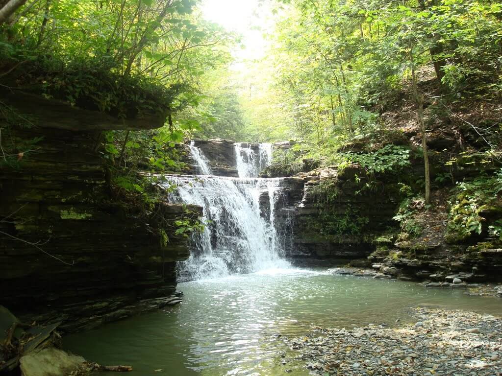
Towns and Villages
Home >
Community >
Our County
VILLAGES IN SCHUYLER COUNTY:
Watkins Glen: There are four self-rule villages in Schuyler County. The largest is Watkins Glen. The lands
that make up the Village of Watkins Glen became the property of Dr. Samuel Watkins in 1828. Dr. Watkins, already the owner of many acres of successful farm land in Manhattan, was the dreamer, the planner and the real force behind establishing Watkins Glen.
Dr. Watkins was a 57 year old New York City native when he first came to the area to take a look at his 25,000 acres of real estate. He was a well-to-do doctor and pharmacist. In 1830, he built himself a three story dwelling on Fourth Street of Federal style architecture which still stands today (greatly altered). To look at the buiding today is to appreciate how imposing it was in 1830 as the only three-story dwelling in sight. The bricks for the house and later for the barns at the rear of the property were shipped via the canal from his farm in Harlem. The large carriage house on the corner of Third and Decatur Streets, built later to house Watkins' horses and carriages, still stands and is well preserved.
Dr. Watkins forged ahead with the layout and naming of the village streets, establishing Lafayette Square as the village green, a breakwater and docks were built and the lake was drained back from what today is Fourth Street to the present waterfront.
The earliest name for the village is Salubria as identified on an 1819 map. Initially, settlers grouped in four separate areas within what is now Watkins Glen, each designating a different "village" name. Dr. Watkins came from New York City in 1828 and, in time, created a single village, the charter being issued in 1842. When Dr. Watkins changed the name to Jefferson, village officials drew up a new charter.
After Dr. Watkins death in 1851, his widow suggested the village name be changed to Watkins in recognition of his many contributions. This was done by yet another charter in 1852.
Because of the presence of Watkins Glen State Park, there was some confusion caused by visitors persisting in calling the village Watkins Glen. In 1926, the US Postal Service agreed to allow the village to be named Watkins Glen.

Montour Falls: Montour Falls, Schuyler County's second largest village, has undergone several name changes. It has been called Catharinestown in honor of Catharine Montour, the last ruler of the Seneca Indian tribe which once lived there, Mills Landing for the area's first businessman whose inn and warehouse were on the shore of the original bed of Catharine Creek and then Havana, incorporated in 1836. The present name was adopted about 1900 because of the Spanish-American War, when any name connected with Cuba was considered deleterious. 
Burdett: Burdett, on a hill east of Seneca Lake, about t
wo miles northeast of Watkins Glen was incorporated in 1898.
Odessa: Odessa, located on a hill about two miles east of Montour Falls, was incorporated in 1903.
TOWNS IN SCHUYLER COUNTY (including official dates of erection):
Catharine, 1798 - Catharine was named for Catharine Montour, a French woman who married an Indian, and exerted great influence among them. The town was formed from "Newtown," which is now Elmira, NY.
Hector, 1802 - Hector was formed in 1802. Its surface is a rolling upland, its highest summits being 500-700 feet above Seneca Lake. The bluffs bordering upon the lake are 100-300 feet high, and nearly perpendicular. It is drained by a large number of small creeks flowing into Seneca and Cayuga Lakes.
Reading, 1806 - Reading was formed from "Frederickstown" in 1790 or 1806. It lies upon the west bank of Seneca Lake, and is the central town upon the north border of the county. Its surface is a rolling upland 400-500 feet above the lake. The bluffs upon the shore are very steep and in many places precipitous. Its streams are small brooks and creeks. Former businesses in Reading include coal
companies, a malthouse, brewery, hotel, and foundry.
Orange, 1813 - Formerly called Jersey, the Town of Orange was formed in 1813, and is bound east by the pre-emption line. It contains 32,000 acres, and its surface is a rolling and hilly upland broken by irregular valleys. Mead's Creek, flowing s
outh-west, forms the principal drainage.
Tyrone, 1822 - The Town of Tyrone was formed in 1822. Its surface is an elevated upland divided into several ridges by the valleys of the streams. Tyrone’s former businesses included gristmills, sawmills, tanneries, a cider mill, and several manufactories. 
Cayuta, 1824 - John White erected the first sawmill on the east branch of the Cayuta in 1816, and John Eunis the first grist mill, 2 miles below West Cayuta in 1817.
Dix, 1835 - Named from the Honorable John A. Dix, the Town of Dix was formed in 1835. The State Park Gorge and Creek that flows through the glen lies in the Town of Dix. Today, Watkins Glen International is also housed in the Town of Dix.
Montour, 1860- The town of Montour is named after Catharine Montour, a French woman who married an Indian, and exerted great influence among them. The first settlement in the town of Catharine was made in 1788 at Havana.
The Town of Montour was formed in 1860. The surface is a hilly upland, broken by the deep valleys of Catharine Creek and the line of the Chemung Canal, and N.C. Railway. Businesses once here included grist and saw mills, at the base of Havana Glen.
Click here for more history on the towns and villages of Schuyler County.